

Climate Change Is Making Assam’s Floods Harder to Predict
- Scientists say Assam's flood crisis is becoming increasingly complex, driven by a combination of more intense rainfall, Himalayan warming, changing river dynamics, accelerated erosion and expanding human settlements in flood-prone areas.
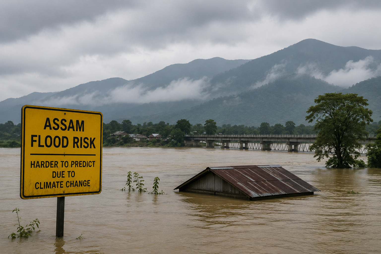
Persistent series of monsoon systems over the Bay of Bengal has kept Northeast India under continuous moisture supply, leading to prolonged periods of intense rainfall. Assam is once again battling devastating floods, with the state government describing them as among the worst in decades. In less than a month, the floods have affected lakhs of people and claimed more than 90 lives. But this is no longer just a story of heavy monsoon rain.
Scientists say Assam’s flood crisis is becoming increasingly complex, driven by a combination of more intense rainfall, Himalayan warming, changing river dynamics, accelerated erosion and expanding human settlements in flood-prone areas. Together, these interacting factors are making floods more frequent, harder to predict and increasingly destructive.
Effectiveness Of Forecasting & early warning systems
Despite technological progress in flood forecasting and early warning systems, their effectiveness remains constrained by sparse observations, inadequate data sharing, and limited transboundary coordination. Overall, rising temperatures, accelerated glacier melt, geomorphological dynamism, and shifting precipitation patterns collectively heighten the challenges of flood prediction and management in the Brahmaputra River Basin.
Why Brahmaputra Makes Assam Uniquely Vulnerable
Assam’s flood story cannot be understood without understanding the Brahmaputra. The Brahmaputra River Basin is one of the most flood-prone regions in the world. This transboundary river system flows through China, Bhutan, India, and Bangladesh, affecting millions of people annually due to recurrent and severe flooding. Floods in the basin cause extensive loss of life, displacement, and damage to infrastructure, with densely populated areas such as Assam and parts of Bangladesh facing the highest exposure.
Physical boundary
The Brahmaputra River Basin is one of the most hydrologically dynamic and ecologically significant river systems in South Asia, covering approximately 650,000km2 between 23.9°N–31.5°N and 82.1°E–97.7°E. The transboundary basin is shared by several countries, including Bangladesh (8.1%), Bhutan (7.8%), China (50.5%), and India (33.6%).
Geography
Assam Valley features wide alluvial plains extending approximately 710km and is noted for its braided channels, extensive sandbars, and dynamic sediment deposition, a result of the high sediment load carried from the Himalayan catchment and seasonal monsoonal flooding. The World Bank identifies the Brahmaputra Basin as one of the river basins with the highest projected increase in extreme flooding, noting that 36% of the basin’s drainage area in India lies within Assam.
In 2019 alone, floods in Assam inundated over 160,000 ha of cropland and displaced several million people. Assam floods 2024 triggered 2.5 million internal displacements. They accounted for nearly half of the 5.4 million disaster displacements recorded in India during the year, the highest figure in 12 years. Climate change, deforestation and erosion, and the lack of maintenance of dams and embankments were some of the main drivers of risk, a reminder of the need to continue strengthening disaster risk management to prevent future displacement.
No Longer Just a Seasonal Disaster: Floods Are an Economic Crisis
According to the Government of Assam, on average, floods inundate 9.31 lakh hectares every year, damaging crops, roads, bridges, schools, health facilities and public infrastructure. The Economic Survey for 2025-2026 -Assam estimates average annual flood losses of around ₹200 crore. Beyond direct damages, recurrent flooding disrupts agriculture, tea plantations, fisheries, transport and livelihoods, while riverbank erosion permanently removes productive land from cultivation. Since 1950, Assam has lost nearly 4.27 lakh hectares of land to erosion, about 7.4% of its total geographical area. As climate change intensifies flood hazards, these recurring losses are transforming floods from seasonal disasters into a long-term development and economic challenge.
Assam battles compound flooding
Floods in Assam are no longer triggered by a single event. Increasingly, they result from several drivers acting simultaneously, a phenomenon scientists describe as “compound flooding”.This complexity is compounded by Assam’s unique geography. Nearly 40% of the state’s land area is flood-prone, while the highly dynamic, sediment-laden Brahmaputra continuously shifts its course, erodes riverbanks and alters floodplains.
Various drivers include intense local rainfall over Assam, heavy precipitation in upstream catchments across Arunachal Pradesh, Bhutan and Tibet, accelerated snow and glacier melt in the eastern Himalayas, swollen flows in the Brahmaputra and its tributaries, riverbank erosion, and in many cases, landslides that temporarily block and later release large volumes of water. Together, these interacting processes create larger flood peaks, prolong inundation and make flood forecasting significantly more challenging.
Himalayan Warming is Reshaping the Brahmaputra River System
Climate change is expected to significantly increase flood risks across the Brahmaputra Basin, making Assam one of the most vulnerable regions in India. Climate modelling studies consistently project a rise in the frequency and intensity of extreme flooding events across the Indus-Ganga-Brahmaputra river basins during 2020–2059, driven by more intense monsoon rainfall and accelerated glacier melt in the Himalayas and the Tibetan Plateau due to rising temperatures. These changes are expected to accelerate soil erosion, sediment deposition, wetland degradation and agricultural losses, compounding existing flood risks.
While monsoon rainfall remains the dominant driver of flooding in Assam, these cryospheric changes are modifying the way water moves through the basin, particularly during the pre-monsoon and early monsoon months. The Hindu Kush Himalayan Assessment warns that even if global warming is limited to 1.5°C, the region is projected to lose at least one-third of its glacier volume by 2100; under higher-emission scenarios, glacier losses could exceed 50–65%.
What Climate Models Say About Assam’s Future
According to a recent study, “Causes and Mitigation of Flooding in the Brahmaputra River Basin: A Systematic Review”, the emerging trend is the shift in peak rainfall from July to August during the monsoon. This is accompanied by an increase in post-monsoon precipitation and a decline in pre-monsoon rainfall.
This shortening of the wet season, combined with a rise in rainfall intensity, is expected to produce higher flood peaks while reducing drainage time. In addition, extreme rainfall events are projected to become more frequent, with daily totals exceeding 100mm likely to occur more often in the lower sub-basins, which includes Assam.
Hydrological simulations further suggest that average streamflow may rise by 13%–15% by the mid-21st century, while the frequency of extreme floods is projected to increase sharply by 2080, a flood that currently occurs once in 10 years could recur every two years under high-emission scenarios.
At present, glacier and snowmelt account for nearly 27% of upstream discharge. In the short-term, warming will accelerate snow and glacier melt, increasing early-season runoff. Over the long-term, however, sustained glacier retreat is expected to reduce meltwater contributions, thereby lowering
flows and altering flood timing. This will likely create a mismatch between increased rainfall and reduced snow retention. Despite broad agreement on these projected changes, uncertainties remain significant.
The Assam State Action Plan on Climate Change: 2021 – 2030 (SAPCC) has projected a 5–38% increase in extreme rainfall events and more than a 25% rise in flood events under future climate scenarios. In addition, climate models project that increasing precipitation and temperatures could lead to a 13% increase in the Brahmaputra’s annual streamflow, while sediment loads may rise by nearly 40% by the end of the century, intensifying riverbank erosion and flood hazards across the state.
Besides this, human interventions, such as deforestation, urbanisation, and unplanned land-use changes, further exacerbate flood vulnerability by increasing runoff and reducing natural water retention.
“We have been witnessing sharp intraseasonal variations in the rainfall patterns; either the rainfall is very intense or break-monsoon periods are quite long, triggering extreme weather events. This is direct impact of global warming. Most parts of East and Northeast India, including Assam, have been rainfall deficient so far in the Monsoon. However, Assam is battling the worst flooding in the decade. It’s high time that we prepare for the season, keeping in mind these changes in the rainfall patterns and not just by the amount of rainfall,” said Dr Akshay Deoras, Research Scientist, National Centre for Atmospheric Science, University of Reading, UK.
Assam’s floods have long been part of the state’s geography. What is changing is their scale, complexity and unpredictability. As climate change intensifies rainfall variability, reshapes Himalayan hydrology and interacts with rapid land-use change, flood management can no longer rely solely on embankments and emergency response. Scientists argue that reducing future flood risks will require basin-wide planning, stronger transboundary data sharing, climate-informed infrastructure and adaptation strategies that recognise the Brahmaputra as one interconnected river system rather than a series of isolated flood events.