Google To Expand Flood Detection & Alert System in India
Google has confirmed that the artificial intelligence (AI) based flood prediction system will be available in India before monsoons this year.

After the successful pilot project in Patna that started last September, US technology giant Google Plans to expand its artificial intelligence-based flood detection and alerting system for the upcoming monsoon season which will cover areas along the Ganga and Brahmaputra rivers.
Under its pilot project, Google had partnered with India’s Central Water Commission to collect data for its models that it claims predict the impact of floods more accurately. Google says that 20 percent of global flood related fatalities happen in India.
“To help improve awareness of impending floods, we’re using AI and significant computational power to create better forecasting models that predict when and where floods will occur, and incorporating that information into Google Public Alerts,” Yossi Matias, VP, Engineering at Google had said in an official statement at the time.
According to the Indian Meteorological Department (IMD), monsoons in India during 2019 will be near-normal. The south-west monsoon makes its onset over India around May-end.
“Not only are we increasing the area of coverage, but we are also better forecasting where the floods will hit hardest. Through a new version of our public alerts, people can better understand whether they will be affected,” Jeff Dean, Google’s head of AI division, said at the company’s annual developer conference in San Francisco, California.
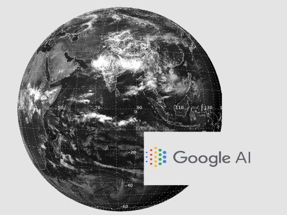
Google’s model simulates water behavior across the floodplain, showing the areas that are likely to be affected. It also combines thousands of satellite images to create high-resolution elevation maps to figure out the height of the ground. After this it uses neural networks to correct the terrain, making it more accurate, after which it simply applies physics to simulate how flooding will happen.
However, the tech giant has also added that effective riverine flood forecasting at scale is hindered by a number of factors. The biggest factor being the need to rely on human calibration in current methodology, limited amount of data for a specific location, and computational difficulty of building continent level models that are sufficiently accurate.
Google has collaborated with the government to collect up-to-date stream gauge data and accordingly sends out real-time updates.
During the pilot project, Google exhibited, via Public Alerts, a map that included areas designated as ‘high risk’, ‘medium risk’ and ‘low risk’ and across these different alert types after this year’s heavy post-monsoon rains, which Google says recorded “high accuracy metrics”.
The pilot used an operational hydro-dynamic model, with the explicit goal of preparing the ground for integrating machine learning (ML) models into the process. Alerts were then sent out to individuals in the catchment area in the form of maps and Android notifications. After last year’s devastating Kerala floods, Patna was chosen for the pilot as the city, and its surrounding area, has a large population and has one of the most frequent occurrences of severe riverine flooding.


